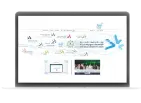
Using artificial intelligence and geographic information systems techniques to predict urban changes for the coming years through images taken from satellites of the target area, then purifying and analyzing these images for previous years to arrive at an organized, sequential visualization of the changes over the past years. It also creates a perception of the extent to which pollution has increased in one place and not in another, so that those who protect against pollution can deal with such changes
 Community service initiatives
2
Initiatives
 Community service initiatives
2
Initiatives


